auto_stories

Publications from our steering committee and partners

71 items (books, podcasts, videos, maps, reports and more) from our steering committee and our partners.

We're sorry: most of these are, for now, available in French only. If you know of resources that belong here - in English or in any other language - we would be delighted to add them: do get in touch.

search
71 resources
Section
(Co-)author
Audience
Type of document
Year
Language
menu_bookBook
1 Jan. 2020

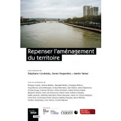
« Justifier, restituer, débattre : la cartographie en quête d'un nouveau souffle ? »

personKarine Hurel · Repenser l'aménagement du territoire / Berger-Levrault

Regional planning, regional appeal, competitiveness, then equality, and finally territorial cohesion: for twenty years, this succession of terms has signalled a search for a new way of thinking about planning in France. None of them convinces. The world is rushing into global change, French society continues to change, and with it the places in which it projects and inscribes itself. But can the same be said of its conception of what “regional planning” - so dear to the country - ought to be? Is collective planning thought lagging behind the social, economic, environmental and cultural transformations it claims to regulate? Struck by the frequency and intensity of today’s debates, controversies and crises around territorial questions, some forty researchers and practitioners gathered from 7 to 13 September 2019 at the Cerisy-la-Salle international cultural centre, to interrogate planning thought and practice. Since the end of the post-war boom, the policy of planning for the territory - or territories - has plainly struggled to change the fundamentals that justified it. Is it still a matter of “planning”? Does it still deal exclusively with “territory”? The time seems to have come to change the categories of analysis, the cast of actors, the language and the horizon that bring them together. Planning thought? A complete overhaul! Far from the worn-out debates that set regions against cities, local against central power, or development against ecology, this collective volume offers a series of avenues for refounding planning thought for 21st-century France.

TerritoryLocal democracy
ProfessionalsAcademicElected officials
Steering committeeViewopen_in_new

(content in French 🇫🇷)

menu_bookBook
2021

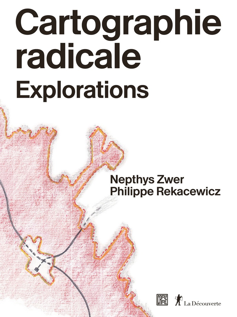
Cartographie radicale. Explorations

personNephtys Zwer & Philippe Rekacewicz · La Découverte

Some maps say no. Radical maps, which reveal and denounce, which protest. To understand these rebel maps - how they work, what they can do - this book undertakes a voyage of exploration into the heart of map-making. What exactly happens when we make a map, whether it is radical, experimental (one also speaks of critical cartography or counter-cartography) or conventional? What intentions preside over its making and its use? The first function of maps is to help us find our bearings and move from one point to another. They let ships navigate and planes fly. With maps, wars are waged, and sometimes peace is made. They are also formidable dream machines, shaping our image of the world, fixing its memory and ending up manufacturing our reality. What motivates this very particular act of giving the world symbolic form, from Strabo to the anarchist Élisée Reclus, from the Benedictine Hildegard von Bingen to the explorer Alexander von Humboldt, from portolan charts to the general staff map? How much creative fancy is at work, how much Faustian fantasy of mastering our environment, how much scientific sincerity? Between the emergence of the engineer Charles-Joseph Minard’s daring thematic cartography, or that of the information designers Otto and Marie Neurath, and Jacques Bertin’s conceptual semiological approach, lies a break with the conventions of cartographic representation. A liberating break, which opened up the field of experiment and made the democratisation of maps possible. Around 1900, the sociologist W. E. B. Du Bois and their team were inventing new graphic ways of representing statistical data on the situation of Black people in the United States. Some sixty years later, it was to denounce the same cultural and economic racism that a small geographical institute in Detroit, led by William Bunge and Gwendolyn Warren, gave shape to what would become radical geography: a committed geography. At that point our relationship to the map as an object changes. An awareness emerges of how it is used and of what it can do. Radical cartography sets out to map economic and social data, to produce deliberately political maps that show and denounce inequalities of life and of rights, political and economic compromises, land grabs, the destruction of habitats by agro-industry, the pollution of the planet, and everything that mortgages, one way or another, the happiness and the future of humanity. Maps, which traditionally play power’s game, become tools of protest and instruments of political and social emancipation when civil society takes hold of them. Politics, art and science then enter into permanent dialogue, to offer an unconventional and free image of the world.

CulturePopular educationLocal democracy
General publicStudents & teachersAcademic
Steering committeeViewopen_in_new

(content in French 🇫🇷)

podcastsPodcast
2 April 2024

The history of cartography - a podcast by Sébastien Thomas

personBernard Bèzes · Sébastien Thomas

All it takes is a phone, and you can orient yourself, find your position, plan a hiking route and avoid traffic jams. One click and you travel through space, fly over landscapes reconstructed by satellite; our horizon is infinite. In the 21st century, at barely any exaggeration, getting lost is a deliberate choice. So let us look at the history of cartography. How did people find their way before, and how did the pioneers of a science that would soon be called cartography begin their work? From the gnomon of the first Greek philosophers to radar operated from space, techniques have transformed our relationship to maps - but one thing remains: they still fascinate. Scribbled on a tablecloth for a treasure hunt or drawn to the finest possible definition, maps go with us, in the real world and in our imagination. Our guest is Bernard Bèzes, who knows the subject well: they worked for a long time at IGN, back when those three letters stood for the national geographical institute, where they were in charge of the map library. IGN is now the national institute for geographical and forestry information, and its remit includes representing France in the finest detail and observing how it changes. A witness to the present, the institute also carries an old inheritance in which the French were pioneers - not least a dynasty: the Cassinis.

CulturePopular education
General publicStudents & teachers
Steering committeeViewopen_in_new

(content in French 🇫🇷)

languageWebsite / platform
2026

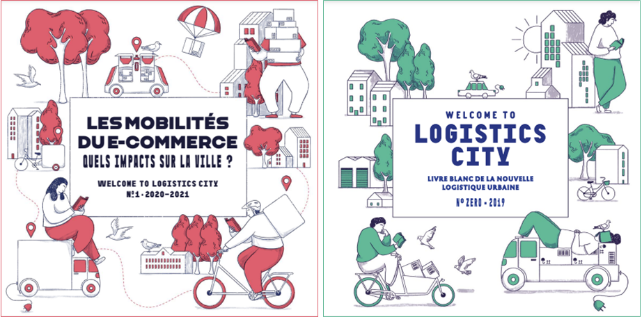
Logistics City chair - Mapping urban logistics

personChaire Logistics City, Fondation Université Gustave-Eiffel · lvmt.fr

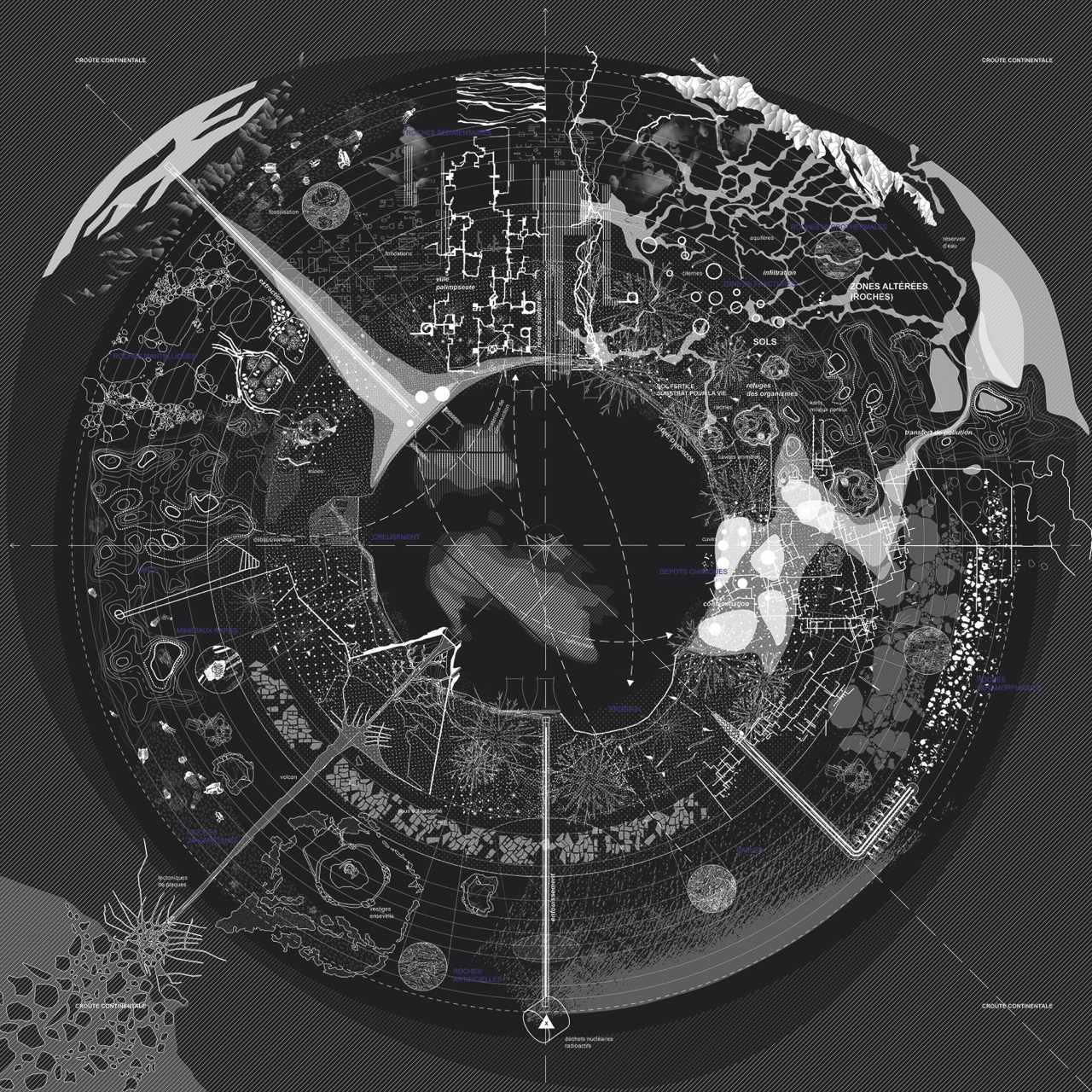
The Logistics City chair is devoted to research on urban logistics along three lines: (1) urban and peri-urban logistics property; (2) trends and new consumption habits and their impact on urban logistics and its property; (3) public policy on urban logistics, and the new data. It was launched in 2019 and renewed for a new cycle in 2023 with Sogaris as founding patron and the Île-de-France region as funding partner. The Grand Paris metropolitan authority and the Gustave Eiffel University Foundation joined as funding partners in 2024. New concepts, new services and new urban logistics companies are emerging in every major city in the world, driven by digital revolutions and by the need for resilience and ecological transformation. This logistics aims to meet the demand of businesses and residents for new services while answering cities’ concerns about the environmental and social impacts of today’s urban deliveries. The Logistics City chair sits in that context, with a twofold ambition: to pay particular attention to warehouses, those logistics places that are crucial to urban and metropolitan life; and to explore the effect on urban logistics and on local areas of new consumption and distribution trends, especially those tied to e-commerce and digital change.

TerritoryEcology
ProfessionalsAcademicStudents & teachers
PartnersViewopen_in_new

(content in French 🇫🇷)

tips_and_updates

Would you like to flag a resource, correct an entry or suggest something missing? Write to us - this collection grows with the coalition.

Publications from our steering committee and partners - La République des Cartes